The water gets the first say
A Dam That Stores Nothing
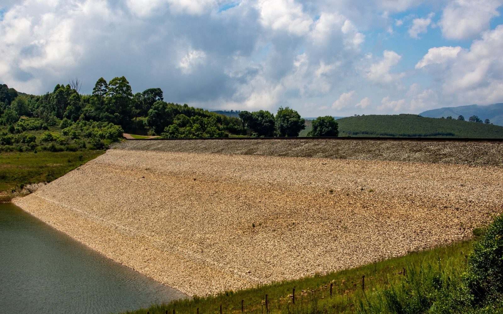
The structural logic of a dry retarding basin: embankment, ungated conduit, and the design water surface. Argues that the absence of a gate is the whole idea, not an omission.
Read the lead piece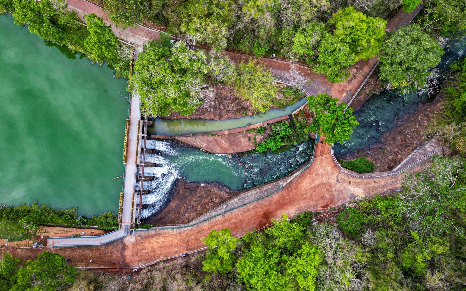 The Great Miami
Englewood, Germantown, Lockington, Taylorsville, Huffman
The five Miami Conservancy District retarding basins — their locations on the watershed, their individual capacities, and how they operate as a system rather than as five separate structures.
Read this piece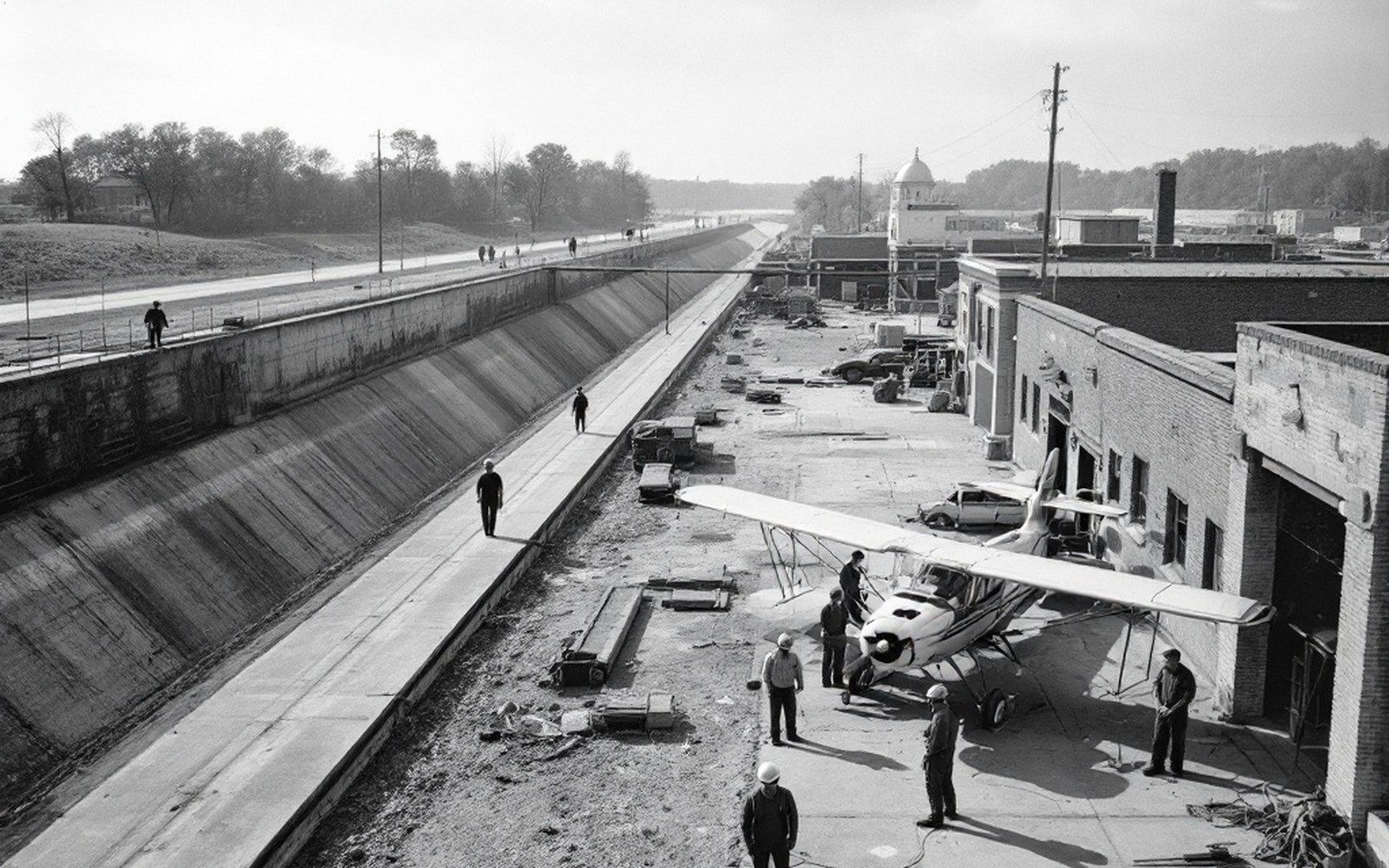 The Great Miami
The Engineer Who Refused the Reservoir
Arthur Morgan's founding logic for the Miami Conservancy District in 1915: why he rejected impoundment in favour of empty valleys and ungated conduits, and how the district's taxing authority over the whole watershed made the system buildable.
Read this piece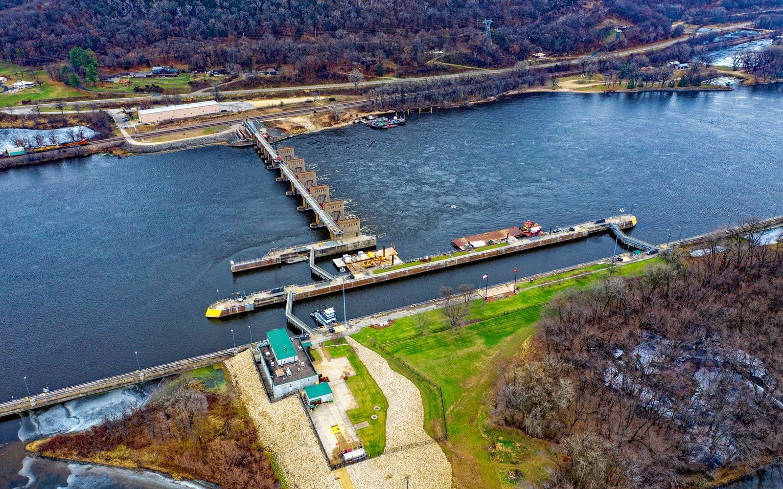 The Great Miami
The Levee Has Been Raised More Than Once
The construction history of the Troy levee through the middle of town — the original channel work, and the later raises that followed each revision of what the Great Miami might do at peak discharge.
Read this piece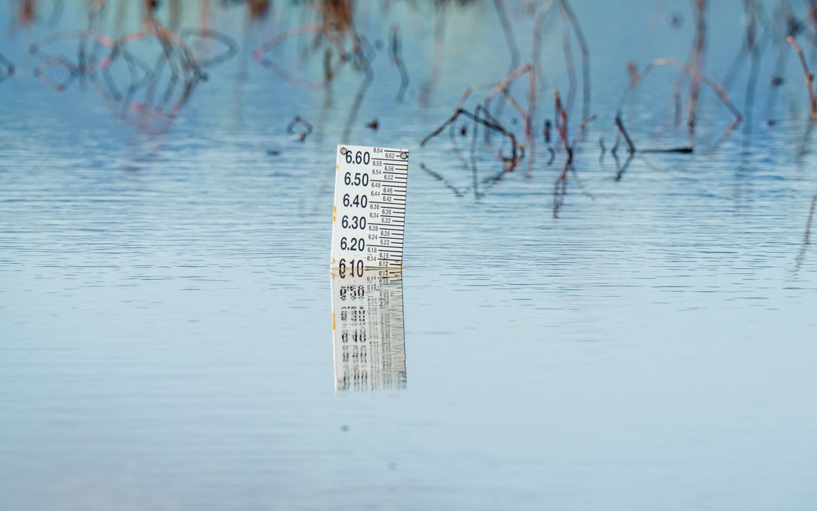 The Great Miami
March 1913, Read Through the Gauge
The March 1913 flood as an engineering datum: the peak discharge figures, the affected reach of the Great Miami valley, and how those measurements became the design standard the conservancy district was built to exceed.
Read this piece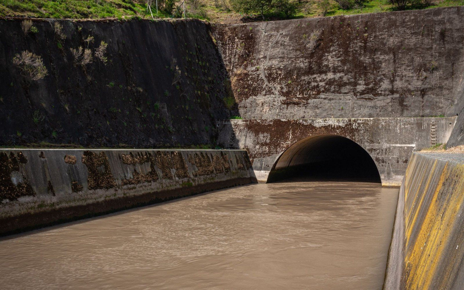 The Great Miami
What the Conduit Mouth Tells You
The Taylorsville dam outlet works — the dimensions of the ungated opening, the stain line on the concrete above it marking historical water-stand depth, and what normal-condition flow through it looks like versus a wet week in March.
Read this pieceThe other three sections
The whole registerThe school has been here since 1930
The Hobart Institute, the welding-wire plant that shares its name, the Honda investment upstream, and why the American Welding Society's shortage number keeps climbing.
6 pieces Section 3The town and its square mile
The Public Square, the 1888 courthouse, Hobart Arena, the Overfield Tavern, WACO Aircraft, the Strawberry Festival as institution, and the fabric of the built town.
7 pieces Section 4The county and what sits in it
Miami County beyond the city limits: Piqua and the Johnston Farm, Tipp City's canal-era main street, the Miami and Erie Canal locks, the Stillwater River, and Dayton's record to the south.
7 pieces