The Levee Has Been Raised More Than Once
The construction history of the Troy levee through the middle of town — the original channel work, and the later raises that followed each revision of what the Great Miami might do at peak discharge.
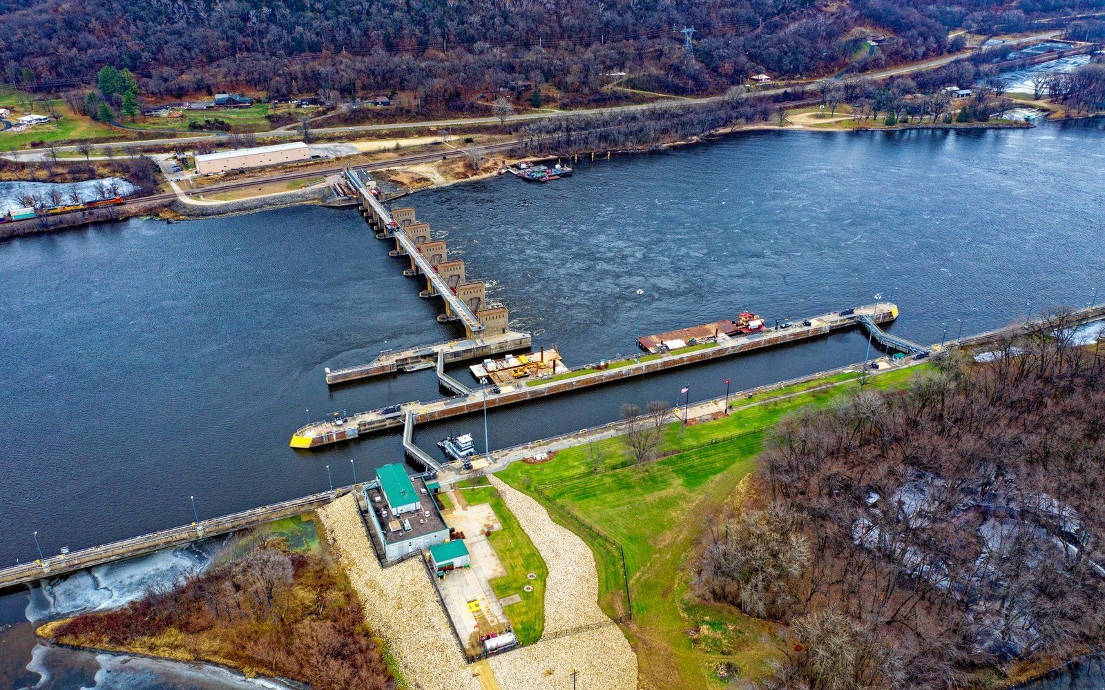
Troy's downtown flood wall isn't one project; it's a record of successive reckonings with what the Great Miami can carry.
Raising the Bar, Literally
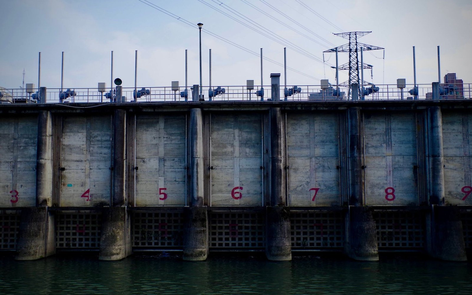
The Great Miami River runs along the western edge of downtown Troy, separated from the commercial district by an earthen and concrete levee that looks, to a casual eye, like a single continuous feature. It isn't. The levee has been topped out and revised at least twice since its original construction — each raise a direct response to updated calculations of peak discharge, the maximum flow rate engineers expect the river to reach in a design flood.
The Miami Conservancy District, established after the catastrophic 1913 flood and charged with protecting the entire Great Miami watershed, built the retarding basin system upstream — at Lockington, Taylorsville, and three other sites — to absorb and slow flood pulses before they reach downstream communities. Troy sits far enough downstream that the channel levee remains the last line of defense between the river and Public Square.
The original levee work through Troy was executed as part of the District's coordinated channel improvement program in the late 1910s and early 1920s, straightening and deepening the river corridor to move water faster through the urban reach. But channel engineering is only as reliable as the assumptions behind it. As hydrology refined the estimated peak discharge the system might still pass through Troy after upstream storage, the levee profile required adjustment. Subsequent raises added height to the earthen core and, in places, extended the concrete cap to match the revised design water surface.
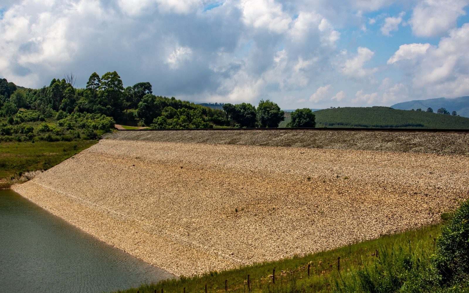
The practical effect is legible in the levee's cross-section: compacted fill from different eras sits in distinct bands, and the Miami Conservancy District's own records document successive construction events tied to engineering reanalysis rather than to any single flood occurrence.
Treasure Island Park, on the flood plain immediately west of the levee, occupies ground that remains deliberately unbuilt — a spatial acknowledgment, encoded in land use, that the river's margin is not entirely tamed.