March 1913, Read Through the Gauge
The River at Its Worst Became the River by Which Everything Was Measured
On the last days of March 1913, a stationary low-pressure system stalled over the Ohio Valley and delivered four to eleven inches of rain across an already saturated watershed. The Great Miami River, along with every tributary feeding it, ran out of its banks simultaneously. What followed was not a local flash event but a regional hydraulic catastrophe: the Stillwater, the Mad River, and the Great Miami crested within hours of each other, their combined discharge overwhelming every downstream reach of the valley.
At Troy, the Great Miami rose far above its natural floodplain and spread across the low ground on both sides of the channel. The hydraulic record that engineers later reconstructed from high-water marks, flood debris lines, and the fragmentary gauge readings that survived the event placed the peak discharge — the maximum volumetric flow rate — through the Miami Valley at figures that had no precedent in the region's documented history. For the Great Miami in the Dayton reach, that peak discharge was roughly 250,000 cubic feet per second. The figure was extraordinary: it represented a volume of water that no levee then standing, no channel geometry then existing, could have safely passed.
The 1913 flood is often told as a human story, and the human cost was real. But for the engineers who came after, the event was first and foremost a datum — a fixed point from which the entire Miami Conservancy District's design was calculated. Arthur Morgan, the hydraulic engineer engaged to lead the district's technical work, treated the flood not as a disaster to be prevented by containing the ordinary river, but as a specific storm event to be matched and exceeded by engineered storage capacity. His team's core question was precise: if a storm of equivalent magnitude struck the watershed again, how much water would need to be removed from the flood peak, and how fast?
The Numbers That Built the Dams
Reconstructing the 1913 peak required forensic hydrology. Survey crews measured high-water marks on bridge abutments, building foundations, and valley walls throughout the affected reaches. From these marks, engineers calculated the cross-sectional area of flow and the water-surface slope, then applied hydraulic formulas to derive discharge. The methodology was painstaking and the uncertainties were real, but the resulting figures were internally consistent across multiple measurement points — enough to serve as a credible design standard.
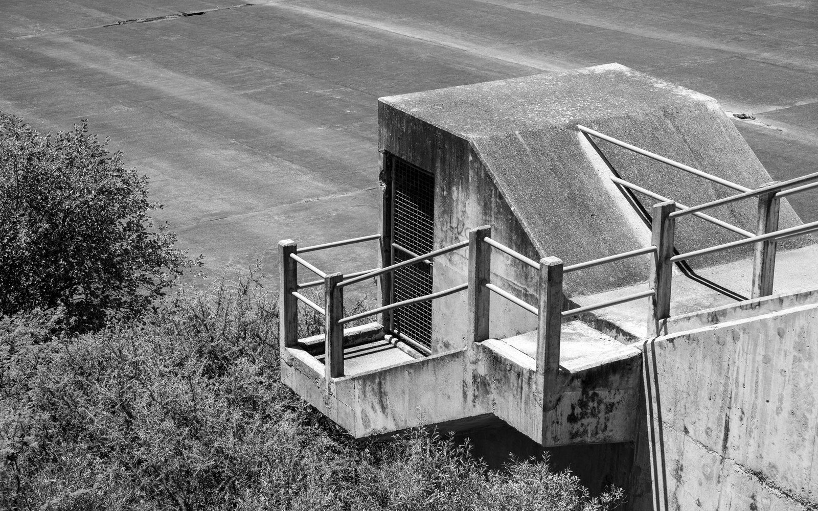
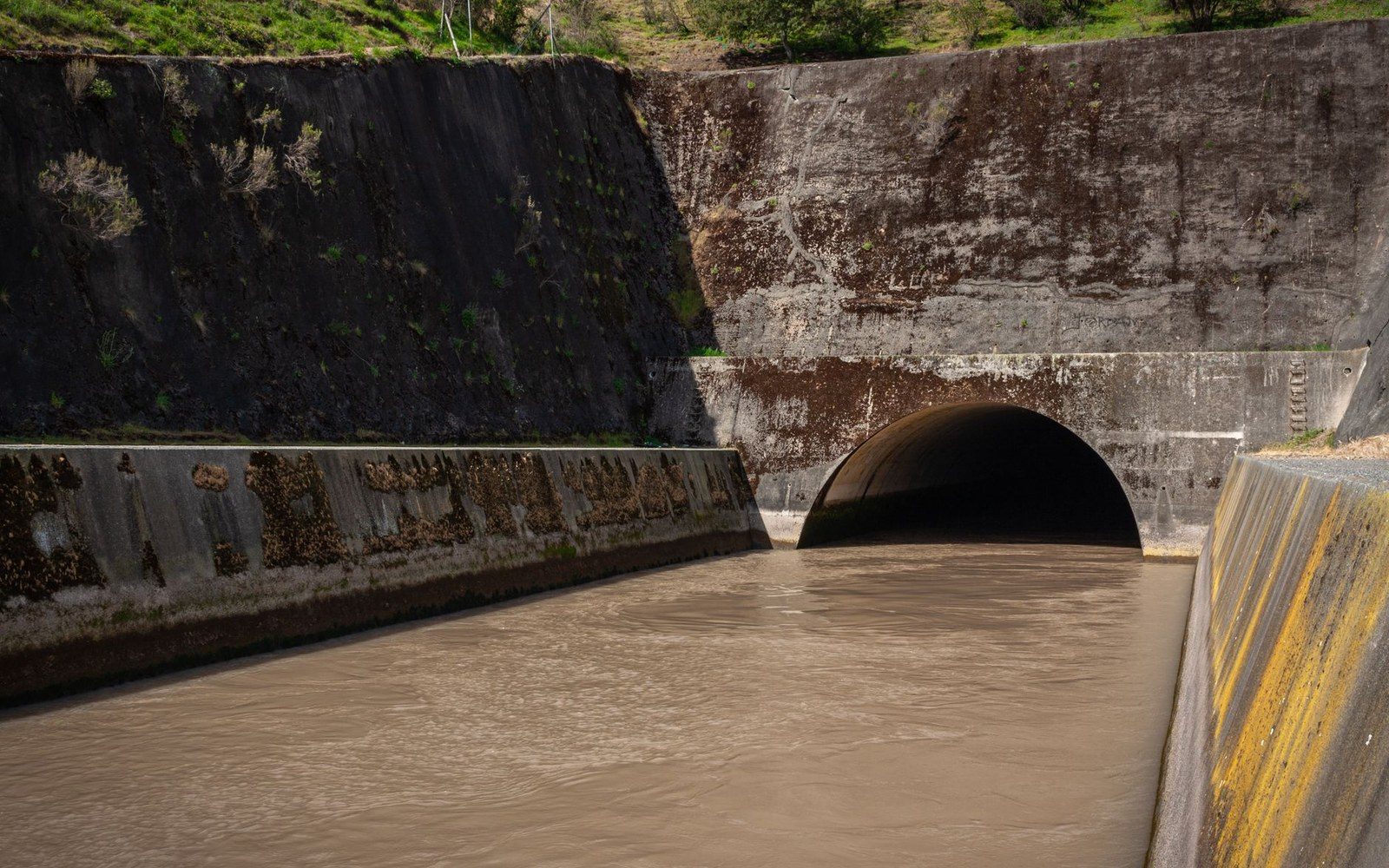
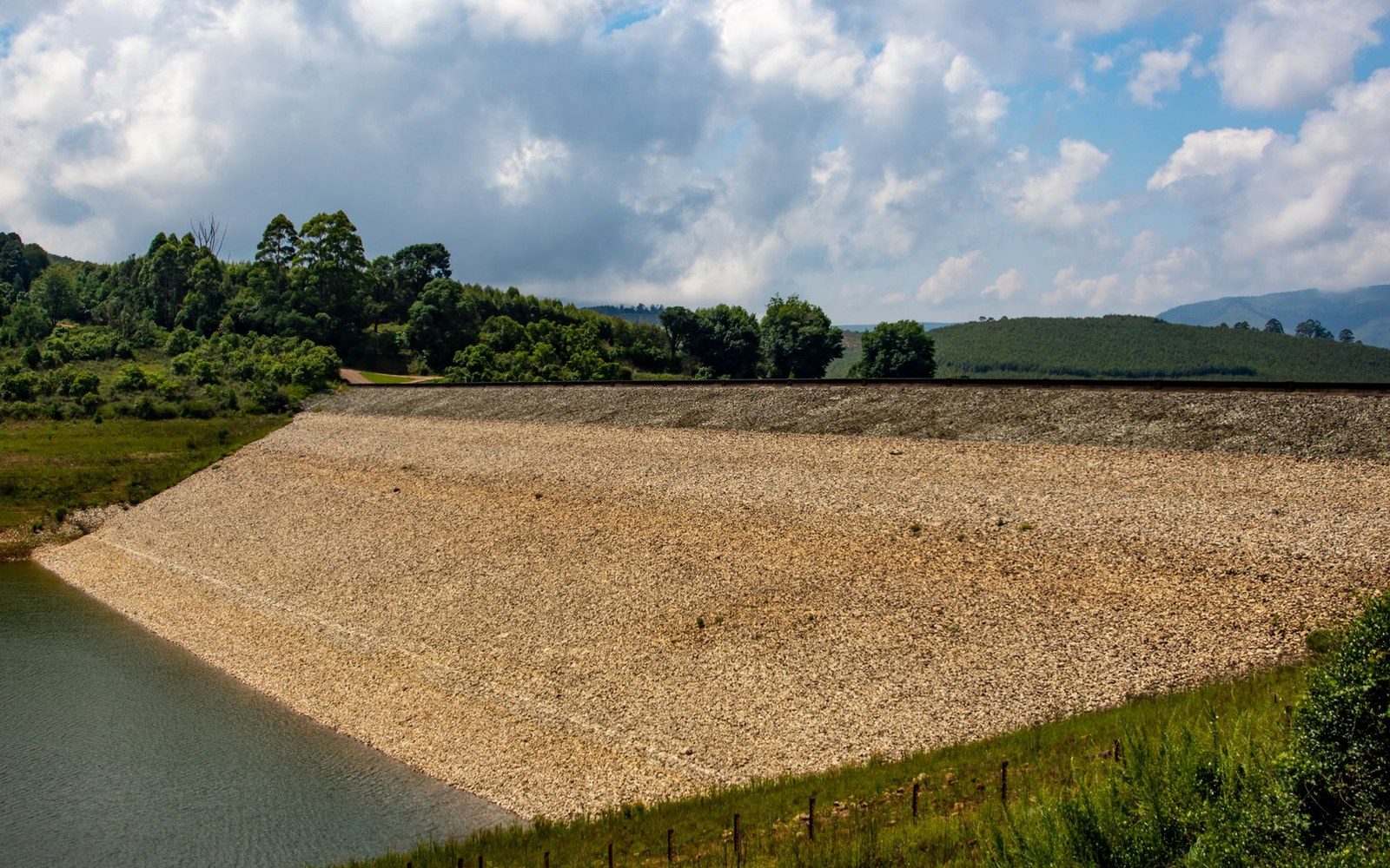
The conservancy district's engineers then set their design criterion not at the 1913 peak, but above it. The five retarding basins — at Englewood on the Stillwater, and at Germantown, Lockington, Taylorsville, and Huffman on the Great Miami and its tributaries — were sized collectively to reduce a recurrence of the 1913 storm to a flow the improved channels and Troy's levee could carry without overtopping. At Taylorsville, the dam downstream of Troy, the impoundment area was large enough to hold tens of billions of gallons of temporary storage during the design event, releasing it slowly through an ungated conduit that self-regulated without mechanical intervention.
The logic was deliberately conservative. Morgan's district did not build to the 1913 flood; it built to a storm that would produce roughly 40 percent more runoff than 1913, on the assumption that 1913 represented a severe but not necessarily extreme upper bound of what the watershed could generate. That margin was engineering judgment, not certainty — but it was grounded in the discharge record that March 1913 had provided.
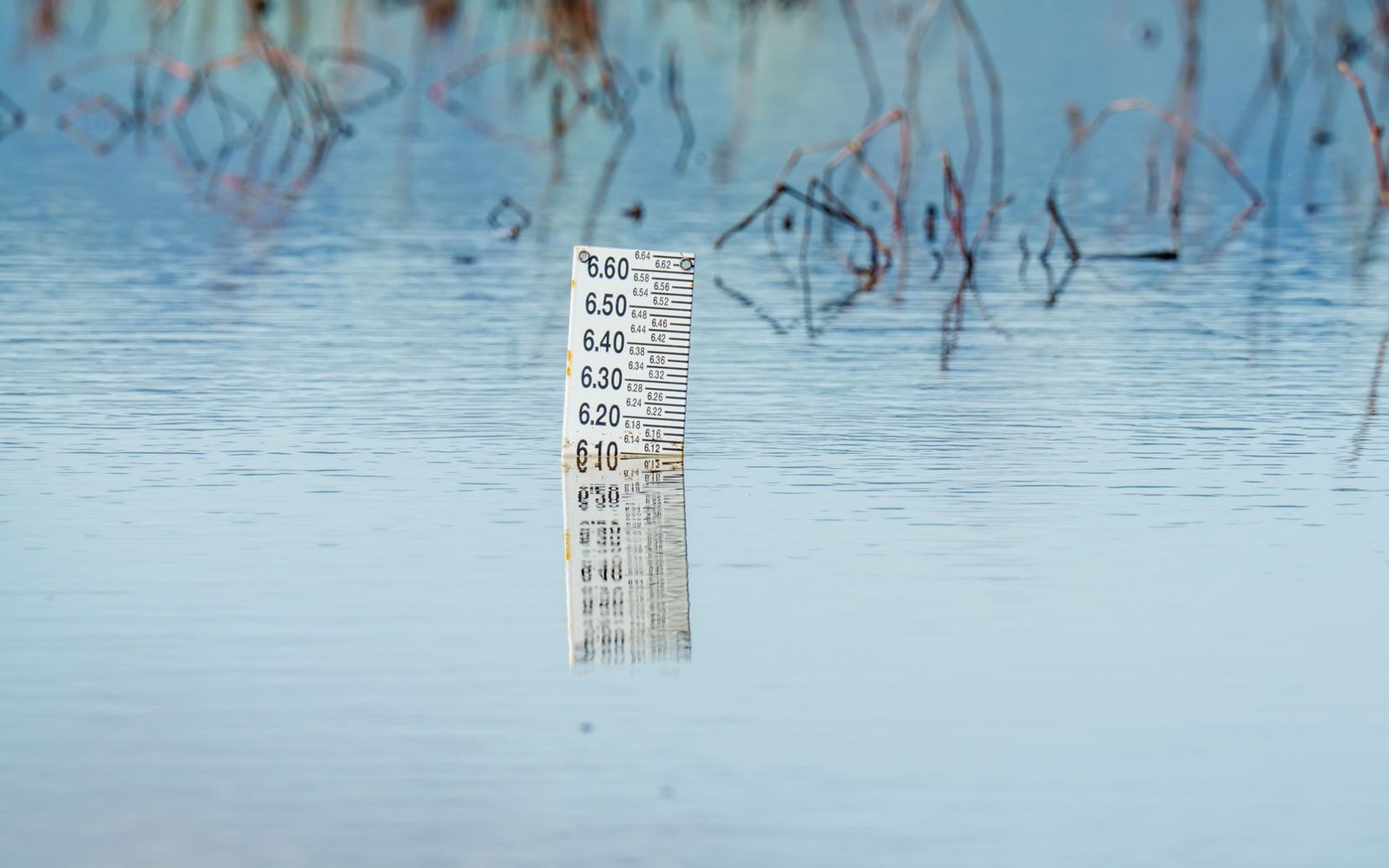
The flood gauges reading during those final days of March established something that no planning document or precautionary study could have: an actual observed maximum. The United States Geological Survey's stream gauge network, expanded considerably in the decade after 1913, now maintains continuous records on the Great Miami and its tributaries. Those records have never been breached by an event approaching the 1913 magnitude — a fact that the conservancy district's engineers would have read, without surprise, as confirmation that the arithmetic they did a century ago was correct.