Five Dams, One Watershed
The Miami Conservancy District's retarding basins work as an integrated hydraulic system, not as five independent structures
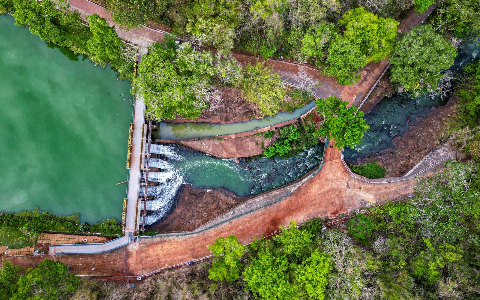
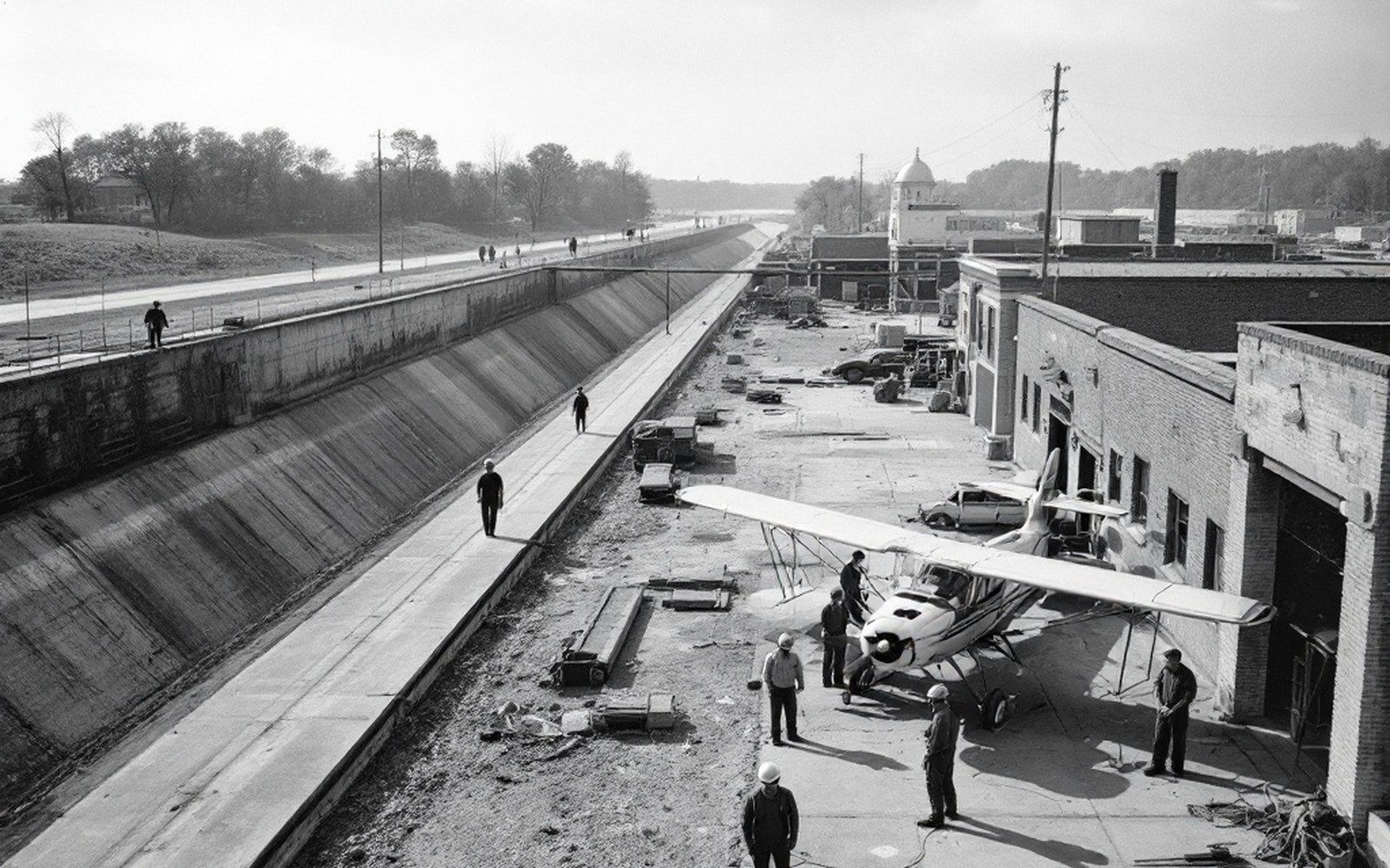
The Miami Conservancy District completed its five retarding basins between 1918 and 1922, and the system they form is best understood from the top of the watershed down. Each dam occupies a tributary valley chosen for its capacity to absorb a specific slice of the flood that would otherwise combine downstream. Individually, none of them could have protected Dayton. Together, they reduced the design flood to a manageable flow through every city on the lower Great Miami.
The five structures — Englewood on the Stillwater River, Germantown on Twin Creek, Lockington on Loramie Creek, Taylorsville on the Great Miami itself, and Huffman on the Mad River — form an arc across the upper watershed. Their order matters. Lockington sits farthest north, controlling the Loramie Creek drainage in Shelby County before it joins the Great Miami near Piqua. Taylorsville is just south of Troy, downstream on the Great Miami. Huffman anchors the eastern side of the system, impounding the Mad River northeast of Dayton. Englewood and Germantown handle the western tributaries. The arrangement is not coincidental: Arthur Morgan and his engineering team mapped flood-flow timing across the whole watershed and positioned each basin to intercept its peak before it could synchronize with the others downstream.
The Five Basins, Individually
Lockington is the smallest of the five in storage capacity. Its embankment crosses Loramie Creek in Shelby County, and the basin it creates extends northward through a narrow valley. The drainage area it controls is correspondingly limited — Loramie Creek is not the Great Miami — but Lockington's strategic value is precisely its position: without it, high Loramie flows would amplify the Great Miami's peak at Piqua during the critical hours when the main-stem flood is rising. The ungated conduit through the Lockington embankment passes water continuously at a self-regulating rate; when the creek rises above that rate, the basin fills. When the storm passes, it drains back through the same opening, leaving the valley empty.
Taylorsville, just downstream of Troy on the Great Miami, carries the largest responsibility of the five in one respect: it sits on the main stem. Every upstream cubic foot per second that the Great Miami delivers arrives at Taylorsville's outlet works first. The dam's storage capacity is substantial, and its embankment — a broad, compacted earth structure — crosses the widest valley in the system. The design water surface at Taylorsville was calculated to accommodate the controlling design flood without overtopping; the freeboard above that calculated pool is not an afterthought but a deliberate margin. The outlet conduit at Taylorsville is among the more studied in the system; its dimensions were set to pass low flows without restriction while throttling the channel during a major event. That throttling is what creates the temporary pool. Between flood events, the channel runs through the embankment in its normal bed, and the impoundment area is farmland.
Huffman, on the Mad River east of Dayton, controls a watershed that drains parts of Logan and Champaign counties. The Mad River contributes a fast-rising hydrograph — its gradient is steeper than the Great Miami's — and without Huffman, that peak would arrive in Dayton on a curve that worsens the main-stem flood. Huffman's embankment is the tallest of the five. The structure was built on the same dry-dam principle as the others: no permanent reservoir, no gates, no mechanical control. Its ungated conduit sets a ceiling on the outflow rate that the dam will pass, and everything above that rate is stored until the storm recedes.
Englewood, on the Stillwater River northwest of Dayton, is the basin most visible from Dayton's perspective because the Stillwater drains directly into the city. A major Stillwater flood unimpeded by Englewood would arrive in downtown Dayton at roughly the same time as the controlled releases from Taylorsville and Huffman — which is precisely the timing scenario the engineers designed against. Englewood's storage capacity and its embankment geometry were sized to hold the Stillwater's design-flood contribution long enough to let the main-stem peak pass before the tributary adds its flow. The Englewood dam and its retarding basin are the westernmost anchor of the system.
Germantown, on Twin Creek in Montgomery County, is the southernmost of the five and the closest to Dayton. Twin Creek joins the Great Miami south of the city. Germantown's embankment is the shortest, and its drainage area is the smallest in the group, but its position in the hydrograph is critical: it controls the last significant tributary input before the Great Miami reaches the lower valley. Without Germantown, Twin Creek would reinforce the main-stem discharge at exactly the wrong moment.
System Logic
Arthur Morgan's design philosophy for the Miami Conservancy District rejected the single large reservoir that dominated flood-control thinking of his era. The five-basin system expresses a different logic: rather than impounding the entire flood at one point, you intercept each tributary contribution near its source, control its timing, and allow the channel system itself to carry the regulated flows downstream. The peak discharge the system was designed to manage was drawn from the 1913 flood record — itself the largest measured flood in the Miami Valley — inflated by a safety margin to produce the "design flood," a hypothetical event somewhat worse than anything yet observed.
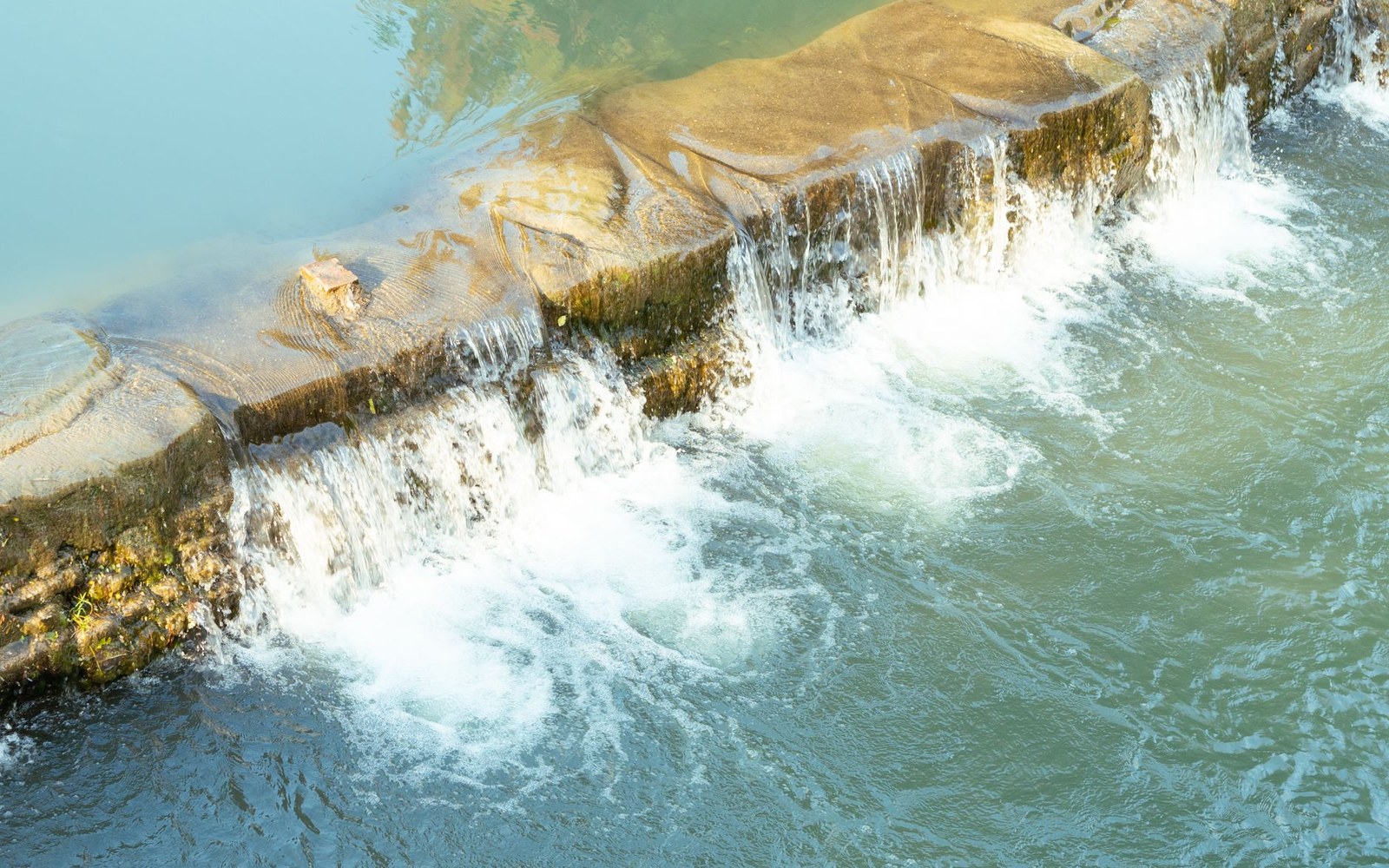
The system's self-regulating character matters for long-term reliability. Because no basin has gates, there is no gate to fail, jam, or be operated incorrectly under emergency conditions. Ungated conduits pass water by gravity and geometry alone; their capacity is fixed by the dimensions of the opening. The tradeoff is that the operator cannot choose to release more water faster, or to hold more back — the hydraulics are fixed at construction. Morgan accepted that tradeoff deliberately. A system that does not depend on correct human decisions during a flood emergency is more reliable than one that does.
The five basins also benefit from geographic spread. Storms rarely produce uniform rainfall across the entire 3,800-square-mile watershed simultaneously. More often, heavy rain falls on part of the basin while other tributaries remain near normal. The distributed system captures whatever portion of the watershed is producing peak flow, while the unaffected basins contribute nothing to the downstream hydrograph. A single large reservoir on the main stem could not replicate that spatial flexibility.
For Troy, the Taylorsville dam a few miles downstream is the most immediate structural fact. Upstream, the protection Troy enjoys during a major storm depends on Lockington keeping Loramie Creek's contribution out of the Piqua reach before the Great Miami passes beneath Troy's levee; Huffman and Englewood, whose rivers join the Great Miami at Dayton downstream of Troy, shape the flows that protect the cities below rather than Troy itself. The system's coherence is its engineering point.